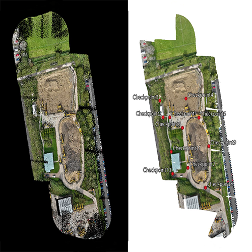
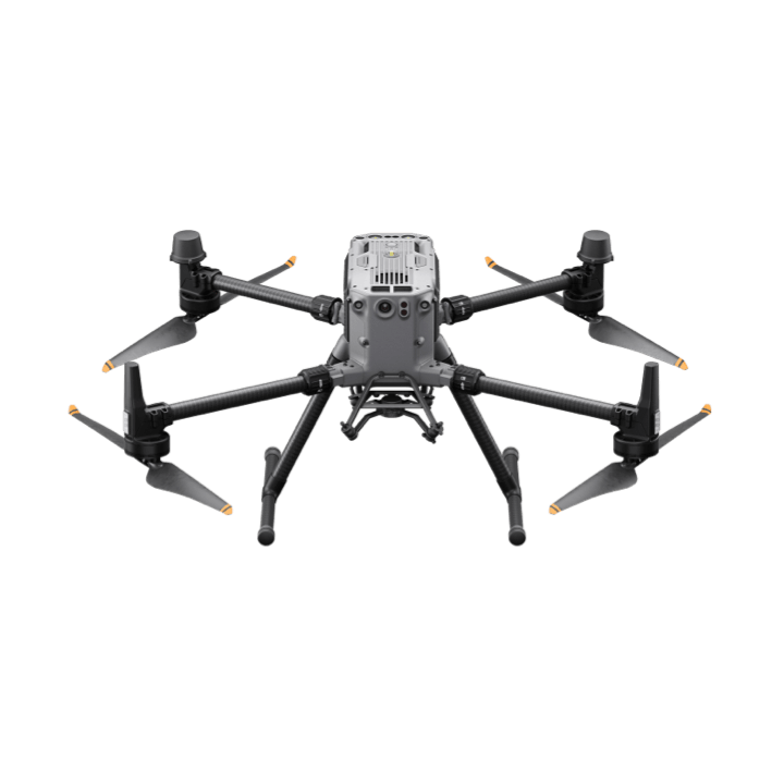
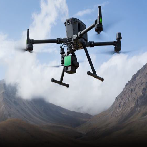
• Deploying drone equipped with LIDAR unit and Pre & Post processing software for comprehensive terrace analysis.
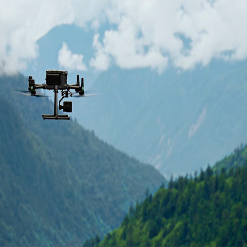
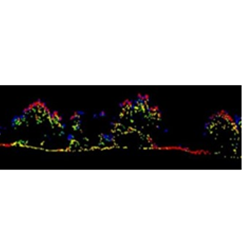
Light Detection and Ranging or LiDAR uses a pulsed laser light to measure distances to the Earth, generating precise, three-dimensional information about the shape and surface characteristics of the terrain. Aerial LiDAR solutions are widely currently in used for power line inspection, topographic mapping, agricultural & forestry surveys.
Comparing with the traditional ways of soil movement monitoring techniques, aerial LiDAR solutions have huge advantage in terms of:
a) Speed and Efficiency: LiDAR can cover large areas much more quickly than ground-based surveying methods, capturing large datasets in a fraction of the time.
b) Accessibility: It can survey difficult-to-reach or dense vegetation area such as steep terrains, dense forests, or disaster zones.