REAL-TIME Instrumentation and Monitoring Consultant Engineer Malaysia
Leveraging from the Internet-of-Things (IoT) infrastructure, we have integrated 4G-enabled communication units into our device and equipment. This ensures that data is continuously collected and transmitted seamlessly to computers or smartphones via our robust Cloud architecture, enabling comprehensive REAL-TIME monitoring applications.
These real-time monitoring capabilities are crucial not only for providing accurate and timely assessments but also for acting as an early warning system. By detecting abnormalities from sensors promptly, we can help prevent potential issues before they escalate.
With these capabilities, we deliver solutions that are responsive, dependable, and provide peace of mind for our clients, ensuring every project is monitored with the utmost precision and care. Our monitoring services, designed to deliver consistent and dependable results, include:-
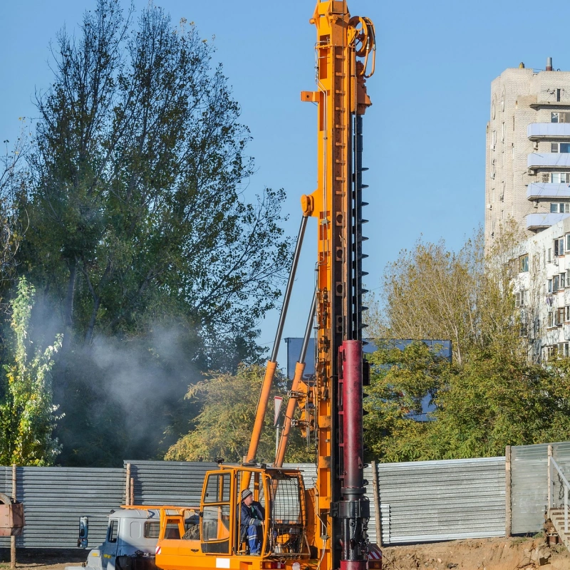
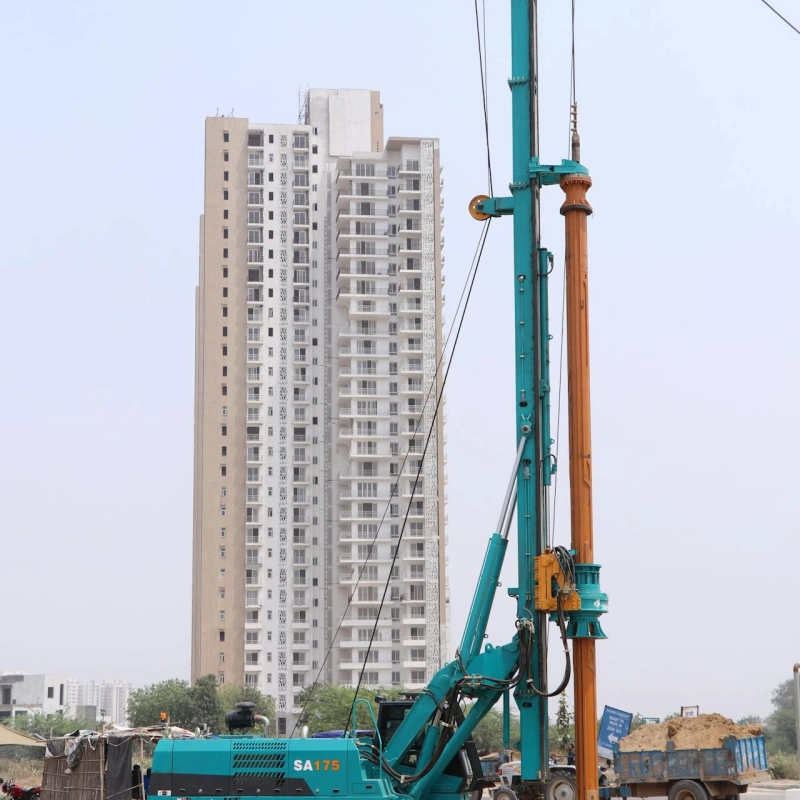
Vibration Monitoring
Utilizing 3-directional geophones
Equipped with MEMS sensor
MEMS vibration sensors are installed on monitoring targets to provide real-time measurements of structural or ground vibrations.
For this application, the identified targets are expected to exhibit structural vibration frequencies between 10 Hz and 100 Hz across three directions. A MEMS sensor with a frequency range of 10–1600Hz, a single-axis or three-axis configuration, and an IP67 protection level will be utilized.
The sensor is mounted on the target structures and wire-connected to a central micro-computer within the Settlement Monitoring enclosure for continuous data acquisition and storage. Once vibration levels exceed the recommended thresholds, an automated alert is triggered, sending an email notification to stakeholders to prompt immediate remedial actions.
This setup ensures that structural health is continuously monitored, providing timely warnings to prevent potential issues and ensure safety compliance.
Equipped with sound level meter featuring4G-enabled data logged
The main aim of measurements of outdoor noise level measurement is to assess the noise climate at the proximity of the targeted buildings or project development.
The scope of this exercise includes to take the sound pressure levels at received locations and/or at the real property boundary of a noise source(s), prior to and during construction activities.
Then, analysis will be conducted to estimate the induced noise level by comparing the sound pressure readings before and after the specific construction activities.
Featuring tiltmeters with 4G – enabled data logger & high precision low noise MEMS inclinometers
A tilt sensor is an instrument that measures the multi-axis tilt of a reference plane. The inclinometer converts changes in the tilt angle by measuring static gravitational acceleration, allowing it to determine the tilt rate and angle relative to the horizontal plane.
It easily detects orientation or tilt and is widely used in industrial inclination measurement, dangerous building monitoring, ancient building protection monitoring, bridge tower inclination measurement, tunnel monitoring, dam monitoring, weighing system inclination compensation, drilling inclination control, and other industries.
Implementing Tell-Tale precision gauges for exact measurements
Tell-tale crack meter is one of the conventional methods to measure crack widening or sliding on building structures. Tell-tale consist of two plates which overlap for part of their length.
One plate is calibrated in milimeters and the overlapping plate is transparent and marked with a hairline cursor. As the crack width opens or closes, one plate moves relative to the other. The relationship of the cursor to the scale represents the amount of movement occurring.
Using optical level equipped with Internet enabled high-resolution cameras & micro processing unit for precise tracking
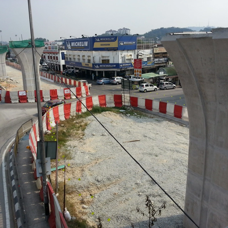
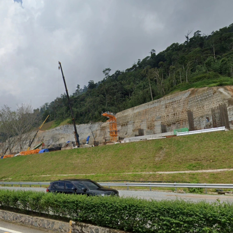
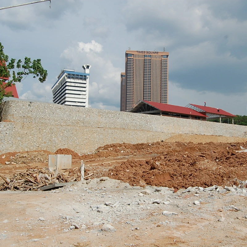
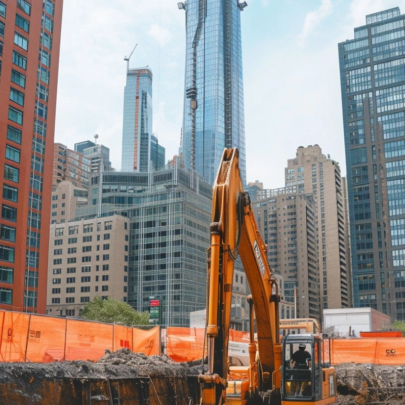
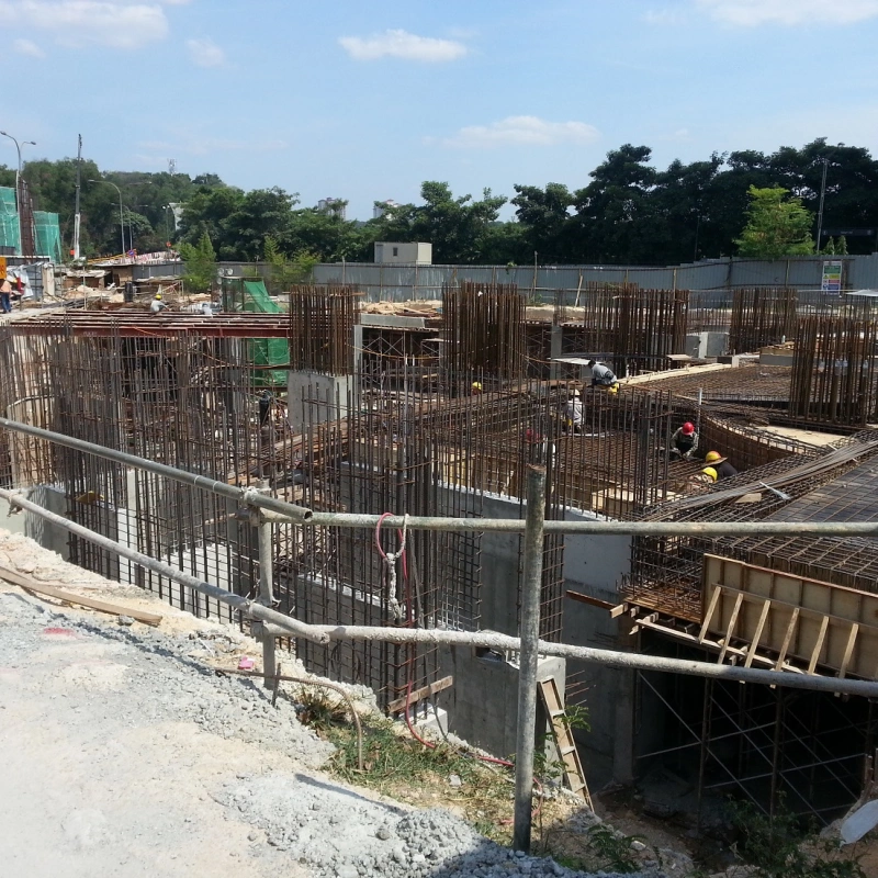
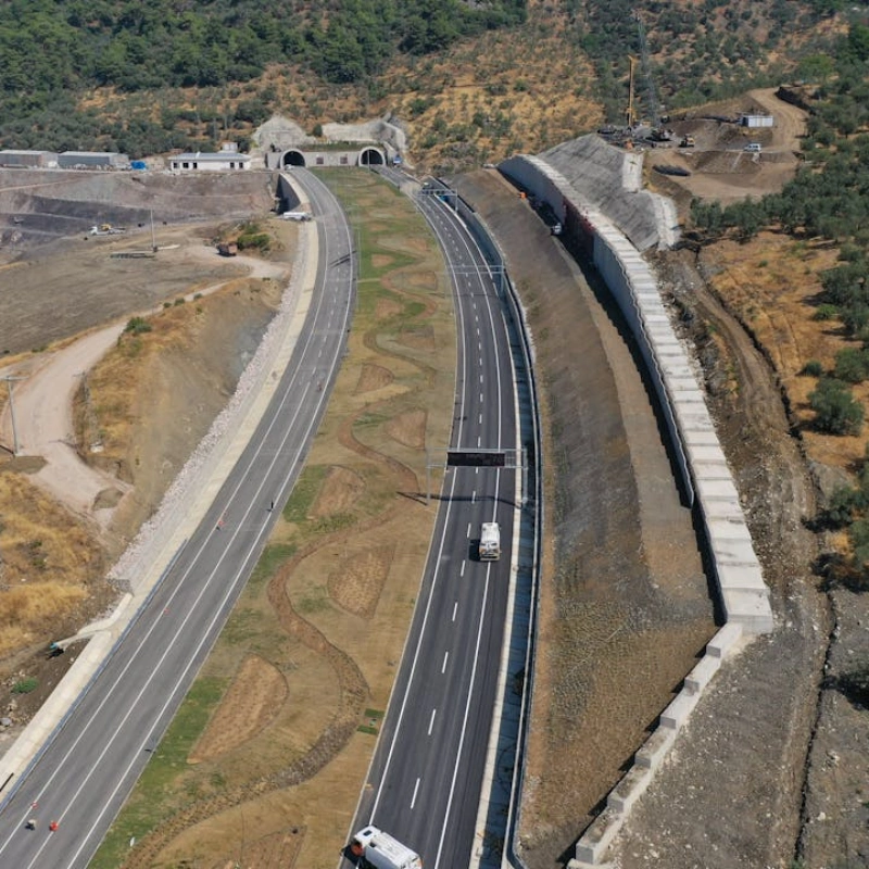
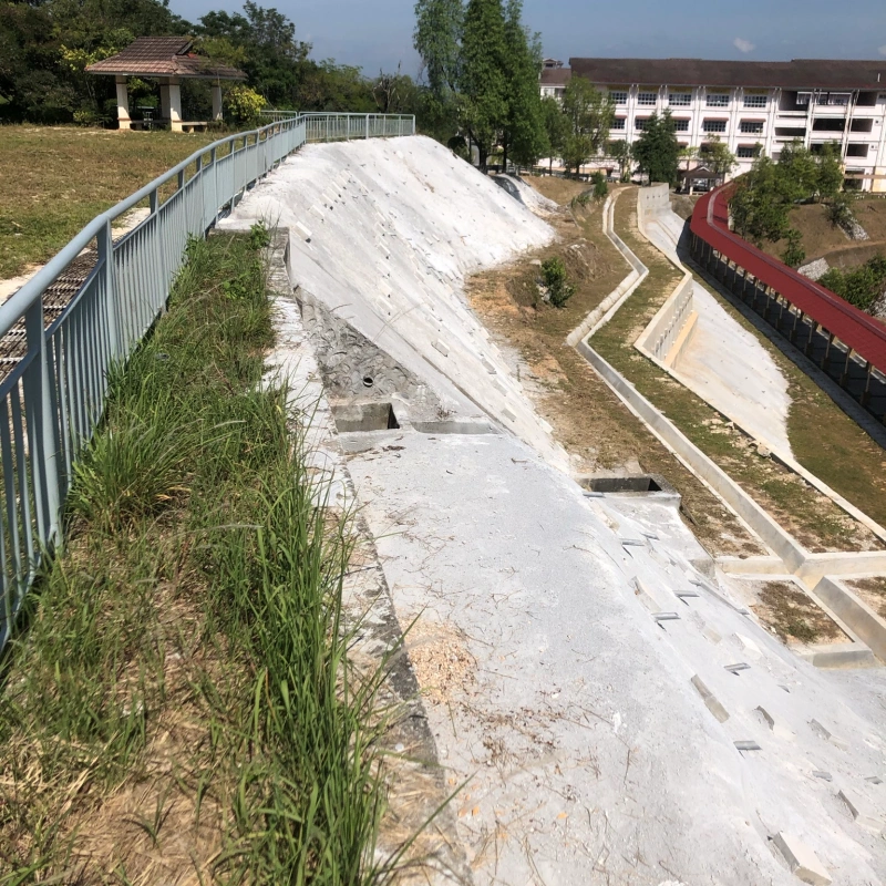
Ground and building settlement marker is one of the conventional methods to measure inherence movement (i.e. settlement or upheave) of the targeted ground, roads, buildings (columns/ reinforced concrete walls), slopes, embankments, utility pipes and etc.
Settlement markers, which consist of the concrete nail and the painted locale marking, are installed, nailed, and labelled to the targeted objects as the point of measurements. Then, calibrated optical level with level staff are then used to measure the absolute level of each settlement marker in reference to the Benchmark (BMs) or Temporary Benchmarks (TBMs).
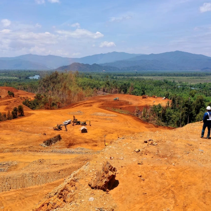
Deploying drone equipped with LIDAR unit and Pre & Post processing software for comprehensive terrace analysis
Light Detection and Ranging or LiDAR uses a pulsed laser light to measure distances to the Earth, generating precise, three-dimensional information about the shape and surface characteristics of the terrain. Aerial LiDAR solutions are widely currently in used for power line inspection, topographic mapping, agricultural & forestry surveys.
Comparing with the traditional ways of soil movement monitoring techniques, aerial LiDAR solutions have huge advantage in terms of:
a) Speed and Efficiency: LiDAR can cover large areas much more quickly than ground-based surveying methods, capturing large datasets in a fraction of the time.
b) Accessibility: It can survey difficult-to-reach or dense vegetation area such as steep terrains, dense forests, or disaster zones.
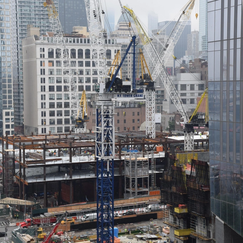
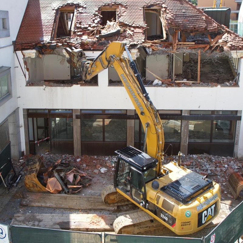
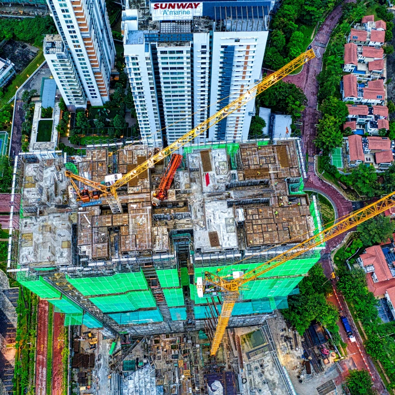
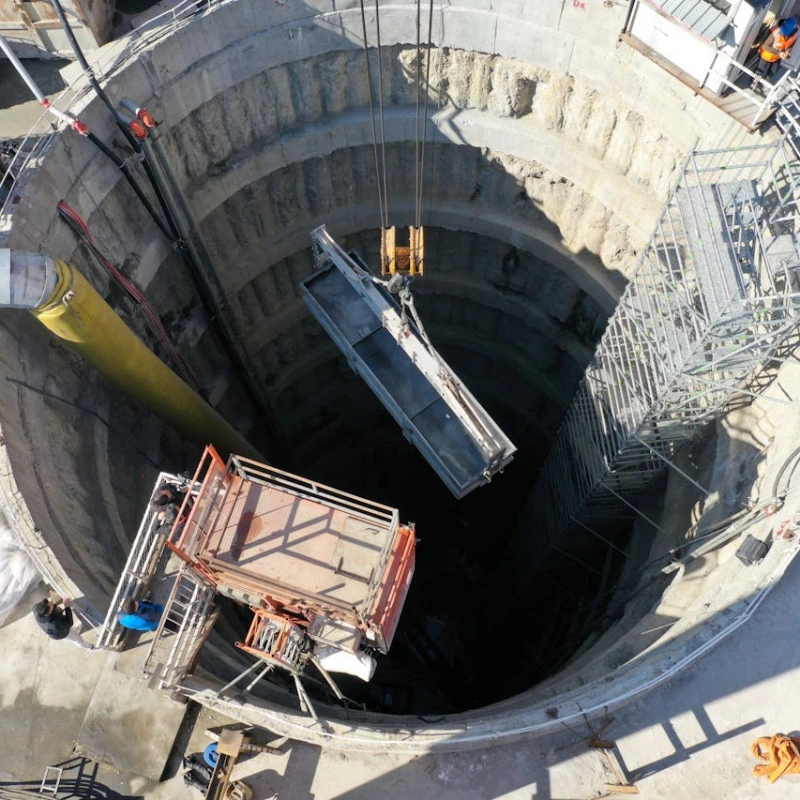
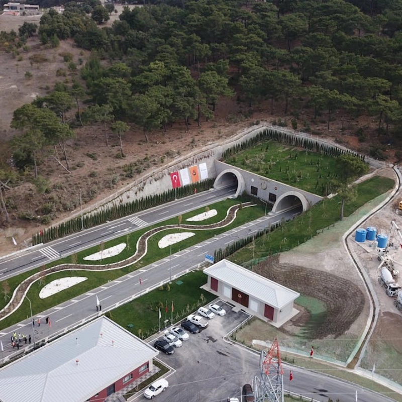
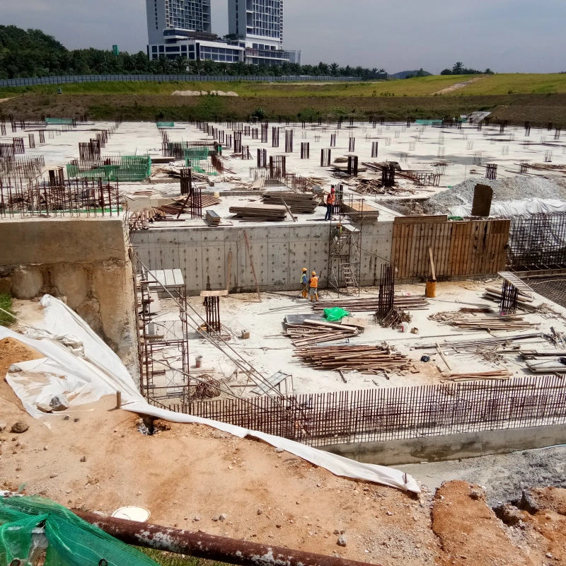
Monitoring plays a crucial role in construction activities, ensuring safety, regulatory compliance, and long-term structural integrity. With increasing urban development and complex infrastructure projects, real-time monitoring helps detect early warning signs of structural movement, ground instability, and environmental impact, reducing risks and preventing costly failures.
We provide advanced instrumentation and monitoring solutions tailored for the construction industry that all our services equipped with 4G-enabled data loggers, cloud-based reporting, and precision sensors to deliver accurate and real-time insights.
By integrating real-time monitoring into your projects, we help mitigate risks, enhance safety, and ensure project success that our monitoring solutions are designed to support various construction activities, such as: